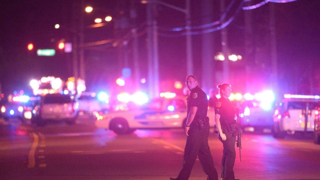
IndoorGEO’s patented technology was originally designed to reduce the time and effort associated with processing complicated real estate transactions. In June 2016 following the mass shooting at the Pulse Nightclub, CEO Charles Carrington recognized the power behind the technology to support emergency situations, as well.
From tragedy to triumph

Carrington approached the Orange County Sheriff’s Office about using the technology to support hostage rescue situations or other emergencies requiring familiarity with indoor mapping and a solution to save lives was born from tragedy. Today, ULT’s technology serves many markets, including school safety, critical infrastructure protection, disaster response, and more.
Precision for military foresight
Indoor mapping - fast, precise, intuitive
Military forces requirements for planning and operations present a host of challenges. Maps of building interiors need to be precise, accurate, timely, and intuitive.
IndoorGEO meets and exceeds these requirements. Our software gathers and organizes building information and employs machine learning to create comprehensive visualizations of indoor “terrain.” Our 3D models blend with 3D models of the outside operating environment, enabling soldiers to move from the outdoors to the indoors seamlessly. While other methods of creating indoor 3D maps require hours of data collection and processing and are not scalable approaches, IndoorGEO produces its 3D visualizations in minutes.
Simple and cost-effective, IndoorGEO’s software delivers interior maps to meet the needs for a single building or an entire city.
