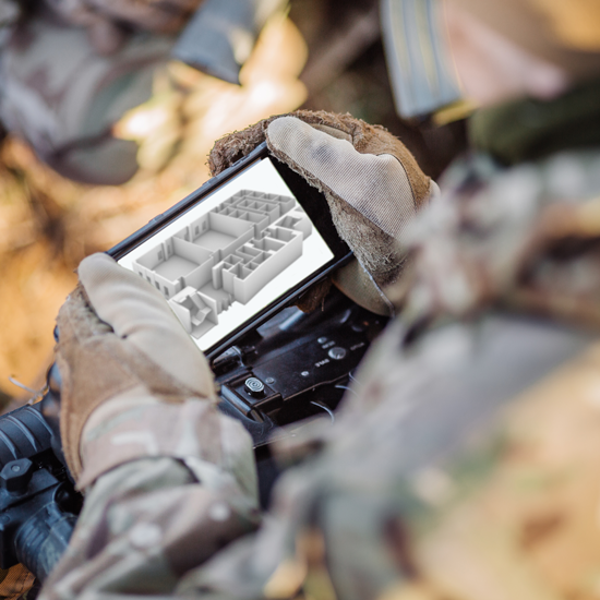
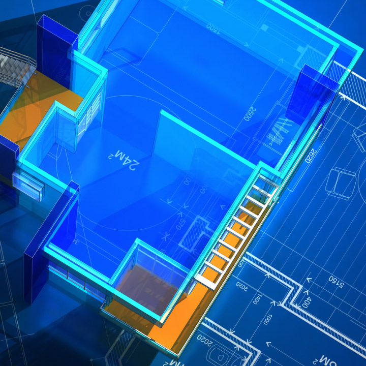
Military special forces currently use 3D models of foreign cities – down to the building level – but lack accurate building interiors. IndoorGEO uses geospatial data to seamlessly integrate building interiors and exteriors for military training, planning, and operational rehearsals.
INTERIOR URBAN TERRAIN, ANYWHERE, ANYTIME
Precision for military foresight

From blueprints to visualization

RETRIEVE
Instantly retrieve blueprints for original construction and renovations, including recently permitted updates

EXTRACT
Use machine learning to classify & identify floor plans & extract structural and other building attributes

BUILD
Quickly convert PDFs of hand-drawn plans to CAD-ready 2D and virtual 3D models using patented processes
Our mission: Save lives intuitively
- Create accurate 3D models, floor-by-floor
- Plan using up-to-date architectural data
- Transition seamlessly between interiors & exteriors
- Map utilities & hazardous material locations
-
Identify stairwells, elevator shafts, electrical panels, and lighting
-
Map fire and safety systems, perimeter walls, and fences
- Automate attribution for simulation, training, and operations
- See hidden spaces


IndoorGEO: Indoor 3D Mapping at the Speed of Need
Military forces have mastered the creation and exploration of 3D terrain maps to plan, rehearse, and carry out operations. Such maps help with finding the best routes, pinpointing a target, or visualizing how an operation will unfold. But once military forces enter a building, what happens next?
